Headwaters Corporation provides the independent Executive Director and staff for the Platte River Recovery Implementation Program (PRRIP or Program), a major national species recovery program focused on three bird species (least tern, piping plover, whooping crane) and one fish species (pallid sturgeon). This includes;
The Executive Director’s Office is leading collaborative efforts to achieve PRRIP’s water objective of 130,000-150,000 acre-feet a year and land objective of 10,000 acres of habitat. Headwaters Corporation manages an annual Program budget of over $19 million (FY2017 budget) and serves as the public face of all Program activities. Specific projects of interest are described below. Links to PRRIP administrative and adaptive management documents can be found on the Publications Page.
- facilitating, coordinating, and leading all aspects of Program implementation
- supporting the Governance Committee and all advisory committees
- providing guidance on science, land, and water decisions
- managing all aspects of adaptive management
- providing public information and outreach
The Executive Director’s Office is leading collaborative efforts to achieve PRRIP’s water objective of 130,000-150,000 acre-feet a year and land objective of 10,000 acres of habitat. Headwaters Corporation manages an annual Program budget of over $19 million (FY2017 budget) and serves as the public face of all Program activities. Specific projects of interest are described below. Links to PRRIP administrative and adaptive management documents can be found on the Publications Page.
Land and water acquisition
Headwaters leads the effort to acquire the land and water necessary to achieve the Program's First Increment milestones of 10,000 acres of habitat and 130,000 - 150,000 acre-feet of water. This includes owner contacts, evaluation of potential land and water acquisitions, negotiations, and oversight of contract development and execution. To date, over 200 properties have been evaluated and an interest has been acquired in excess of 12,000 acres of land along the central Platte River. Most of this land was acquired prior to 2016 and is managed as endangered species habitat. Headwaters is now focused on the acquisition of water and/or lands that will be used for water projects to achieve the Program's water milestone.
Adaptive management plan implementationHeadwaters leads facilitation and implementation of the Program’s Adaptive Management Plan and manages all aspects of adaptive management including experimental design; prioritization and sequencing of hypotheses; facilitating numerous technical workshops and meetings comprised of multi-discipline stakeholders; data collection, management, analysis, and synthesis; developing decision criteria and utilizing decision analysis tools; directing all monitoring and research; communicating data synthesis to decision-makers; and managing the PRRIP’s Independent Scientific Advisory Committee and independent peer review.
|
Interior least tern and piping plover monitoring
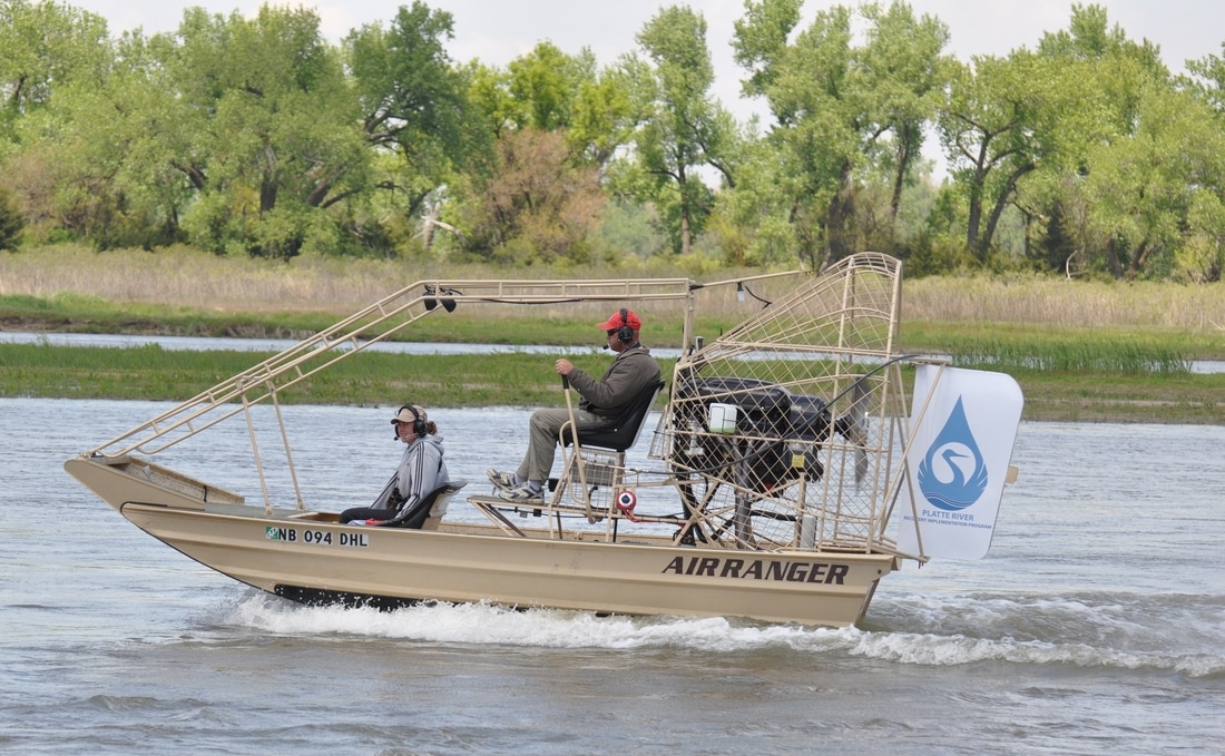
Headwaters has been tasked with implementing PRRIP’s interior least tern and piping plover monitoring protocol. This protocol includes implementing systematic surveys of riverine and off-channel nesting and foraging habitats between Lexington and Chapman Nebraska. During semi-weekly and semi-monthly surveys, we document the presence and productivity of interior least tern and piping plover on in- and off-channel habitats along the central Platte River. The protocol also contains a band-resighting component by which we use cameras and spotting scopes to document habitat use and long-term survival of both species. This information is used in detailed habitat selection and survival analyses to provide information that is used in an adaptive management framework to guide PRRIP habitat management activities.
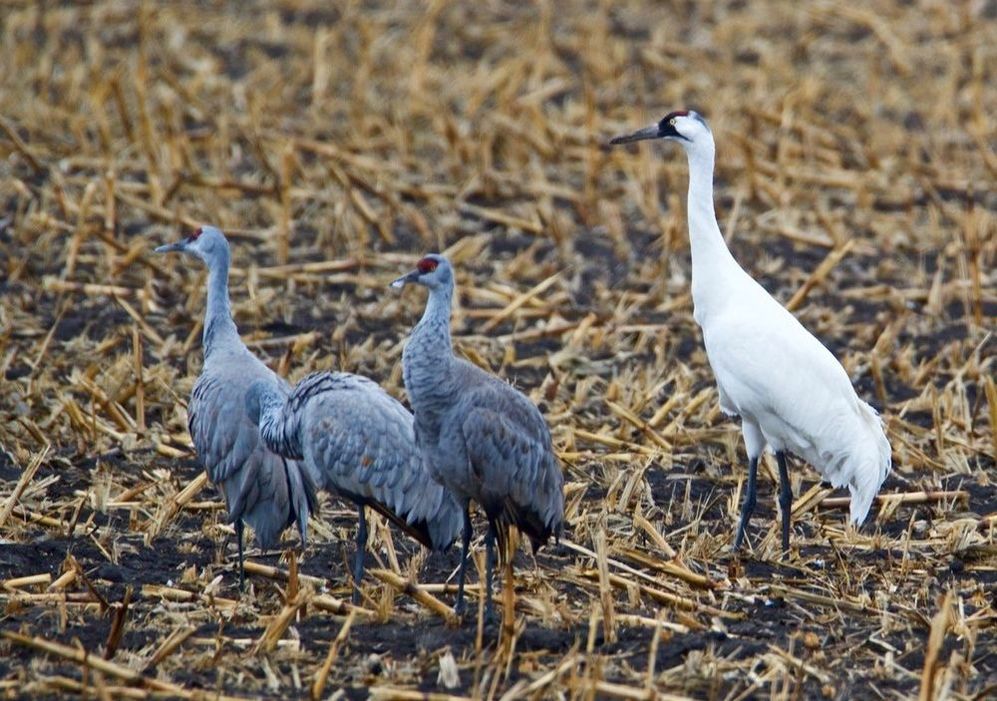
Whooping crane monitoringHeadwaters oversees the design and implementation of PRRIP’s whooping crane monitoring protocol. This protocol includes implementing systematic daily flights between Lexington and Chapman Nebraska to document the presence whooping crane, numbers of days they use the Platte River valley, and the location of use areas. This information is used in detailed habitat selection analyses to provide information that is used in an adaptive management framework to guide PRRIP habitat management activities. The data is also used to relate trends in use of the Platte River to on-ground management activities.
|
Habitat availability assessments
Headwaters oversees the implementation of annual habitat availability assessments for PRRIP. Habitat availability assessments entail the use of photo-interpretation of PRRIP aerial and LiDAR imagery that is collected on an annual basis as well as the application of PRRIP minimum habitat criteria to assess the availability of suitable habitat for species like the whooping crane. Results of these assessments are used to link system scale response and species use to on the ground management activities.
Tern and plover paired habitat experimentsHeadwaters oversees implementation of large-scale management experiments to test on- and off-channel habitat creation and management strategies for the endangered interior least tern and threatened piping plover. Responsibilities include oversight of design, construction and monitoring of in-channel nesting islands and off-channel nesting sites as well as monitoring of habitat created by natural high flow events. Assessment activities include development of integrated habitat and species population models for use in structured decision-making processes to adjust PRRIP management actions.
|
Whooping crane habitat experiments
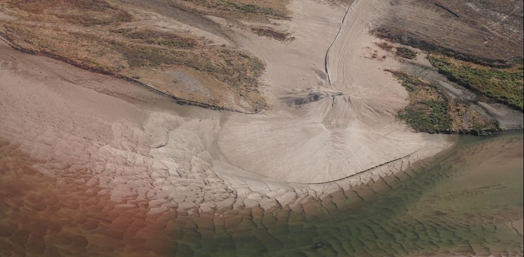
Headwaters oversees design, implementation and assessment of in-channel mechanical vegetation management actions and monitoring of vegetation response to mechanical and natural high flow events. This includes design, implementation and monitoring of mechanical actions to restore braided river morphology on PRRIP habitat lands as well as monitoring and assessment of channel response to mechanical actions and natural flow events. Assessment activities include analysis of implementation and species response monitoring data to assess the effectiveness of Program management strategies for maintenance of braided river segments that are highly suitable for whooping crane habitat
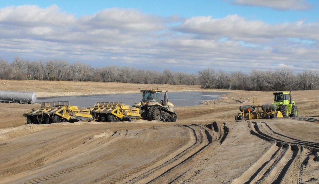
Sediment augmentationHeadwaters oversees the Program's large-scale sediment augmentation program. This included oversight of design, implementation and monitoring of trial-scale sand augmentation during the period of 2008-2010, oversight of a augmentation means methods pilot project in 2012-2013 to evaluate the most efficient means of large-scale augmentation and design, implementation and monitoring of annual large-scale (50,000 – 80,000 tons) sand augmentation operations beginning in 2017.
|
Water Plan implementation
The objective of the PRRIP water plan is to reduce streamflow shortages defined by the U.S. Fish and Wildlife Service in for the central Platte River by 130,000 to 150,000 acre-feet per year for the purpose of habitat improvement and maintenance for the benefit of threatened and endangered species. Headwaters leads all aspects of the PRRIP water plan implementation, including: designing and facilitating river channel and floodplain improvements to over 90 miles of river; providing guidance on science, land, and water decisions; and planning and developing new water supply projects that may include diversion, conveyance, storage, recharge, and pumping facilities. Headwaters supports a comprehensive monitoring system and has completed analyses of high flow events and the associated geomorphologic and ecological impacts.
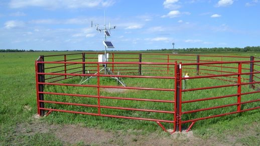
Wet meadows monitoringHeadwaters Corporation designed and implements the PRRIP’s hydrologic monitoring of wet meadow habitat focusing the connections between shallow groundwater, river flow, precipitation, and evapotranspiration. Responsibilities include the overall design of the monitoring effort, implementing and maintaining monitoring equipment, and collecting and analyzing data. Data analysis methods combine empirical relationships, analytical solutions, and numerical models to quantify the hydrologic exchange occurring on wet meadows sites.
|
